
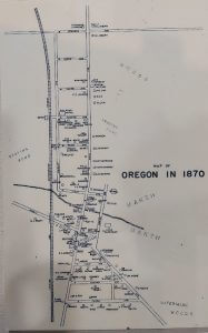
 Over the years, there have been many street maps, plat maps, artist renderings of maps, maps created for planning purposes, and more. The Oregon Area Historical Society keeps and displays these maps in posterity for the community. The maps provide historic context to how the village grew and changed over time.
Listing of maps
Pictures